
Procurement
Two RFPs Open: Fuels Reduction Contractors for Round Mountain and South Yuba Rim
YWI has released two Requests for Proposals for fuels reduction contractor services — about 152 acres of ridgetop shaded fuel break on BLM land at Round Mountain, and about 232 acres of fuel breaks across 31 private parcels on San Juan Ridge for the South Yuba Rim project. Both are due October 2, 2026, with non-mandatory field meetings on September 14 and 18.
Yuba Watershed Institute (YWI) has released two Requests for Proposals (RFPs) for fuels reduction contractor services — one for each of our two largest active landscape projects, on opposite rims of the South Yuba River canyon. Together they put roughly 384 acres of fuel break out to bid this fall. Proposals for both are due October 2, 2026, at 5:00 p.m. Pacific Time, and each RFP is broken into separately priced Bid Items so that hand crews, mastication operators, chipping outfits, and prescribed-fire contractors can propose on the work that fits them.
- Round Mountain Landscape Resilience Project — Phase 1: about 152 acres of ridgetop shaded fuel break on BLM land north of Nevada City, in three Bid Items. RFP page →
- South Yuba Rim Hazardous Fuels Reduction Project — Phase 2: about 232 acres of fuel break on private land across San Juan Ridge, in seven Bid Items. RFP page →
Both RFPs will be evaluated as best-value processes, not low-bid competitions. Proposers may bid on any one or more Bid Items, and YWI may award any combination of Bid Items to one or more contractors.
Round Mountain — Phase 1 fuels reduction
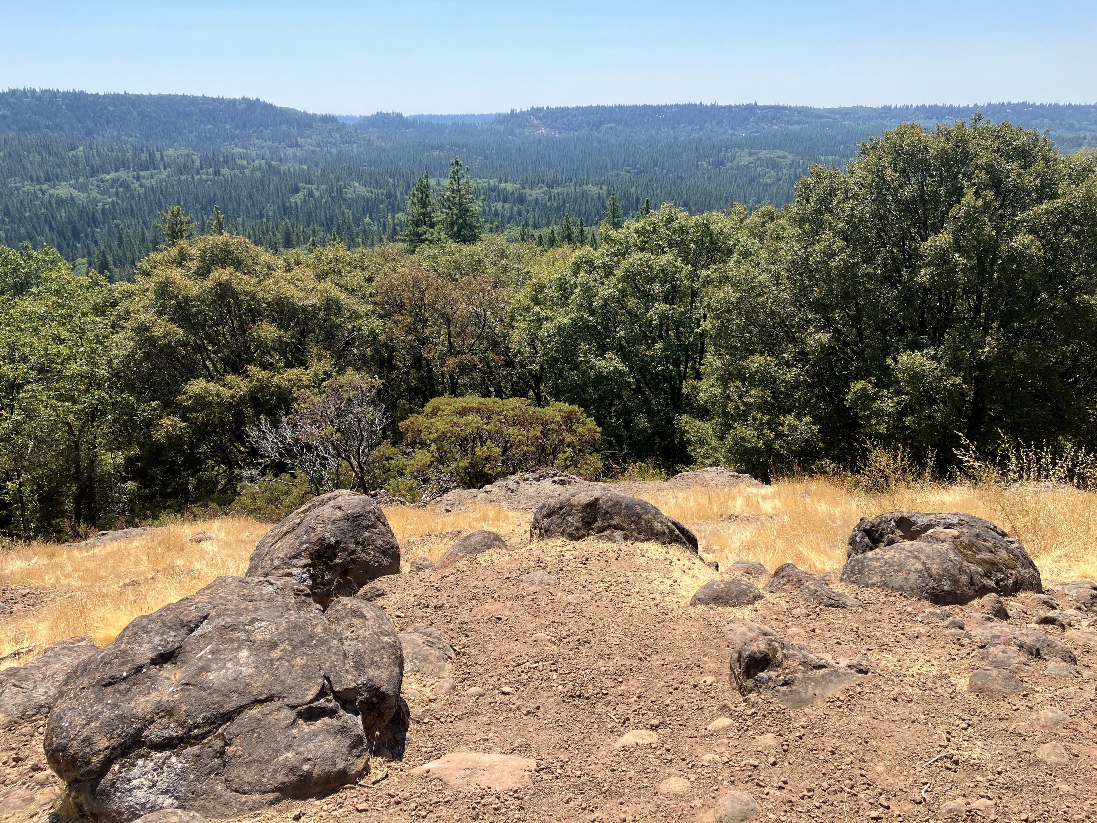
The Round Mountain Landscape Resilience Project is a collaboration between YWI, the Bureau of Land Management, Bear Yuba Land Trust, and local landowners on the south rim of the South Yuba River canyon, about three miles north of Nevada City. Phase 1, funded by a Sierra Nevada Conservancy Wildfire and Forest Resilience grant (Proposition 4), establishes a continuous, roughly 400-foot-wide ridgetop shaded fuel break along Rock Creek Road, Hudson Way, Merrimas Way, and Moonlight Trail — the evacuation and firefighter access corridor for the neighborhood.
This RFP covers approximately 152 acres of BLM land within that corridor, organized by terrain and distance from the road:
- Bid Item 1 — Hand cutting and piling (about 13 acres). Steep pockets, generally over 40 percent slope, with foot access only. Crews hand cut small trees and brush under 10 inches DBH and build tight hand piles; burning is not part of this contract.
- Bid Item 2 — Hand thinning, roadside chipping, and chip haul-off (about 75 acres). The innermost band, within 100 feet of the road centerlines. Thin, prune residual trees to 8 feet, drag slash to the road, chip it, and haul the chips off-site — no chips are left along the evacuation corridor. Traffic control is part of the job.
- Bid Item 3 — Mechanical mastication and/or hand thinning with tracked chipping (about 64 acres). The outer band, 100 to 200 feet from centerline. Masticated or chipped material stays on site at no more than 4 inches average depth, in a patchy mosaic that keeps existing groundcover.
The prescription favors shade-intolerant pine, Douglas-fir, and hardwoods over incense-cedar, retains trees over 10 inches DBH unless marked, and keeps large snags and downed wood for wildlife. NEPA compliance is complete under the project's Environmental Assessment, with a Decision Record signed in January 2025; the BLM project design features that govern the work are reproduced in the packet.
At a glance
- Field meeting (non-mandatory): Monday, September 14, 2026, 10:00 a.m., at the Coyote Overlook Trail parking area where Rock Creek Road meets Merrimas Way and Moonlight Trail. RSVP by email by September 13.
- Questions due: September 21, 2026. Responses and any addenda posted by September 25.
- Proposals due: October 2, 2026, 5:00 p.m. PT, with the subject line "RFP Response – Round Mountain"
- Notice to Proceed: targeted on or about November 1, 2026, once BLM lifts its seasonal fire restrictions. Completion by February 28, 2027, with a possible second season.
- Contact: Theo Fitanides, Project Manager, theo@yubawatershedinstitute.org
South Yuba Rim — Phase 2 fuels reduction
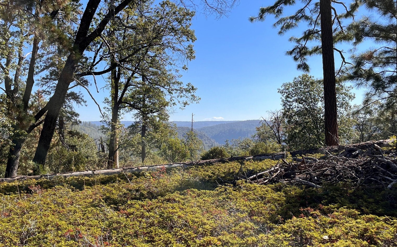
The South Yuba Rim Hazardous Fuels Reduction Project spans the north rim of the South Yuba River canyon along San Juan Ridge, from Bridgeport State Park to Malakoff Diggins. Phase 2 is funded from two complementary sources: a $3.77 million FEMA Hazard Mitigation Grant for roughly 800 acres of primary fuel break along the canyon rim, and a CAL FIRE Wildfire Prevention grant (California Climate Investments) for the roughly 232 acres in this RFP — shaded and unshaded fuel breaks, about 440 feet wide, along neighborhood evacuation routes and the secondary north–south ridgelines that serve the French Corral, Montezuma Ridge West, Outer Jackass Flats, and Lake City/Grizzly Firewise Communities.
The work spans 27 landowners and 31 parcels, all under right-of-entry agreements with YWI, and is organized into seven Bid Items:
- Bid Item 1 — Hand thin, pile, and burn (about 117 acres in 13 units)
- Bid Item 2 — Mastication (about 92 acres in 3 units)
- Bid Item 3 — Lop and scatter (about 4.5 acres)
- Bid Item 4 — Broadcast burn, simple (about 8 acres)
- Bid Item 5 — Hand thin, prep, crush, and broadcast burn, complex (about 6.8 acres in 2 units)
- Bid Item 6 — Cut and drag of Himalayan blackberry and other bramble fuels (about 3.5 acres in 2 units)
- Bid Item 7 — Pile burn of existing piles (about 63.7 acres, a second treatment on previously treated ground)
Unlike the Round Mountain RFP, several of these Bid Items include the burning. Personnel who conduct pile or broadcast burns must hold OSFM Certified Prescribed-Fire Burn Boss certification, every burn must be enrolled in the California Prescribed Fire Claims Fund, and burn plans follow the CAL FIRE template with fire-behavior modeling and an Incident Action Plan. Bid Items 1 and 5 are paid in two milestones — half on approved cutting and piling, half on approved burning — so contractors are not waiting on burn windows for all of their payment.
CEQA compliance is complete through a Project-Specific Analysis and Addendum to the CalVTP Program EIR, which classifies the units under Fuel Break, Wildland-Urban Interface, and Ecological Restoration prescriptions. Each is spelled out in the packet, along with a no-cut species list and species retention preferences.
At a glance
- Field meeting (non-mandatory): Friday, September 18, 2026, 10:00 a.m., at the Historic Wells Fargo Bank Building in French Corral. RSVP by email by September 16.
- Questions due: September 21, 2026. Responses and any addenda posted by September 25.
- Proposals due: October 2, 2026, 5:00 p.m. PT, with the subject line "RFP Response – South Yuba Rim"
- Notice to Proceed: targeted on or about November 1, 2026, issued by Bid Item as right-of-entry agreements are confirmed. Completion by February 28, 2027.
- Contact: Lynne Westerfield, Project Manager, lynne@yubawatershedinstitute.org. Please do not contact landowners directly about this solicitation.
What the two RFPs have in common
- Same evaluation. Proposals must clear pass/fail checks for insurance and a California business license (plus burn boss certification for burning work on South Yuba Rim), then are scored per Bid Item on cost (35 points); approach, staffing, work plan, and schedule (30); experience, qualifications, and references (25); and local workforce (10). The lowest responsive price for each Bid Item receives full cost points, with other proposals scored proportionally.
- Same format. A single PDF of no more than ten pages. A one-page cover letter, the Cost Proposal Form, insurance certificates, license documents, and addendum acknowledgments do not count toward the limit.
- Same terms. Firm per-acre unit prices that include overhead and profit; monthly invoicing for completed, inspected units, paid within 30 days with no retention; and a Fuels Reduction Operations Contract included in each packet as Exhibit F so proposers can review the terms before bidding. Neither project is subject to California prevailing wage requirements.
- Same place for updates. Questions are answered publicly, and any addenda are posted, on each RFP's Addenda & Q&A page by September 25. Proposals must acknowledge receipt of any addenda and of the question responses.
Please share these opportunities with contractors you know. Questions about either RFP go to the Project Manager named above.
More from YWI
Notices of Intent to Award: Round Mountain and South Yuba Rim Fuels Reduction
YWI intends to award the Round Mountain Phase 1 fuels reduction work to GP Development & Land Clearing LLC, and the South Yuba Rim Phase 2 work by Bid Item to First Rain Land Stewardship Services LLC, Wildland Corporation, and GP Development & Land Clearing LLC. Work is planned for November 2026 through February 2027.

Tree Rings #31 Wants Your Words and Art
The Yuba Watershed Institute's community journal is gathering essays, poems, drawings, photos, and wildlife sightings for issue #31, its first in five years. The theme: how you relate to the natural world around you. All ages welcome.
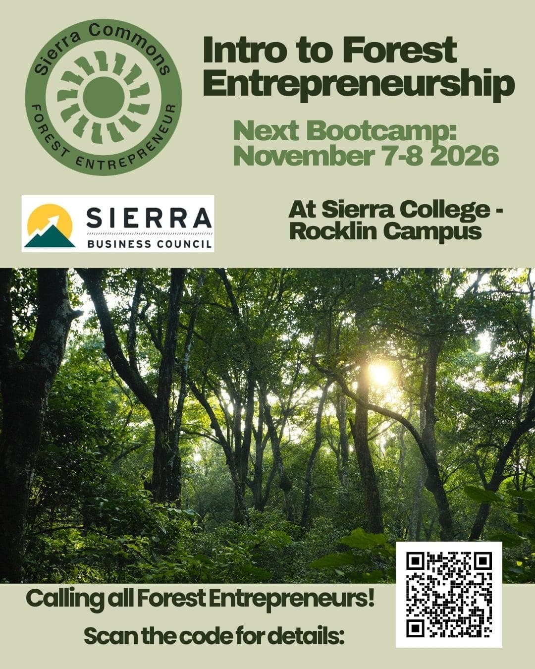
Free Forest Entrepreneurship Bootcamp Nov. 7–8 at Sierra College
Sierra Commons and the Sierra Business Council are hosting a tuition-free, two-day Forest Entrepreneurship Bootcamp on November 7–8 at Sierra College's Rocklin campus for people launching or growing forest and wildfire-resilience businesses. YWI Executive Director Chris Friedel will present as part of the class.